Alper Emek
Gis Developer

Gis Developer
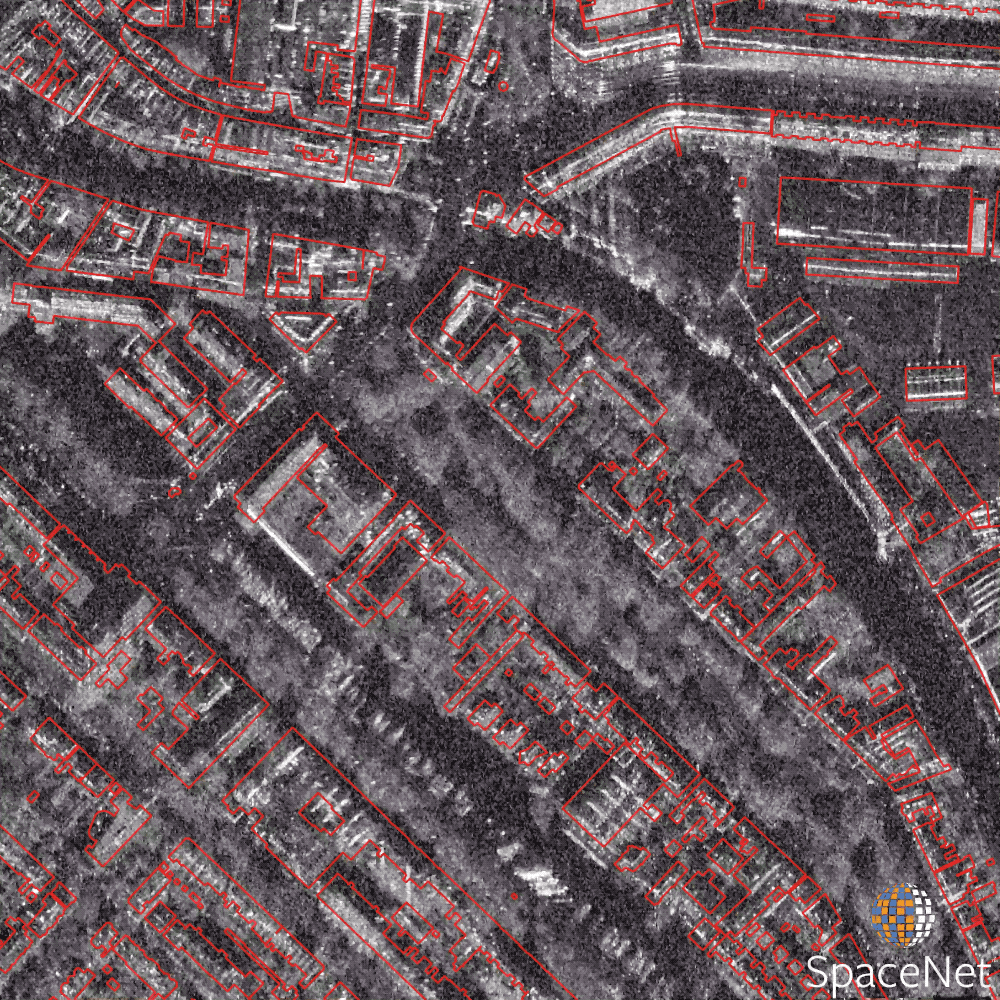
Pre-processing steps were developed to create a classification mask. Unet (CNN based) algorithm is used in the project. Used libraries : keras, numpy, scikit-image, geopandas, sklearn, rasterio. It published on ISPRS archives.
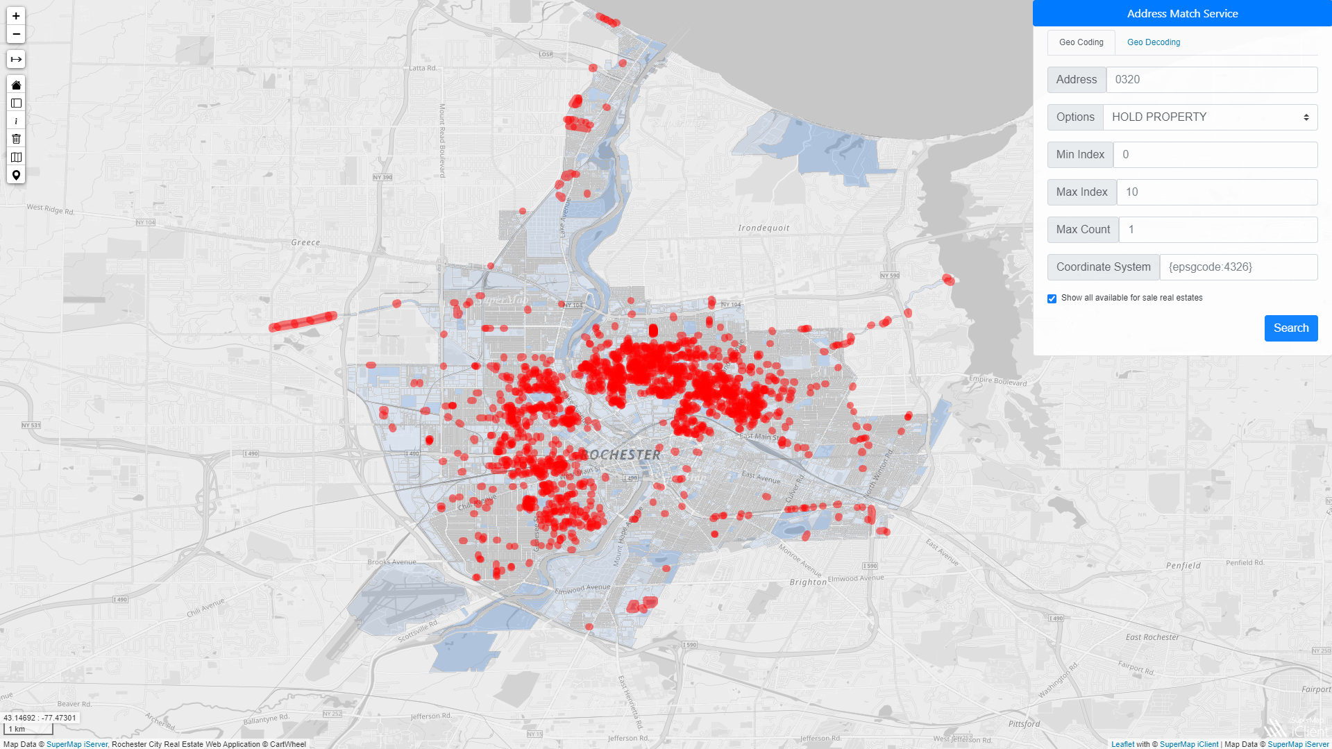
As part of the 2020 Supermap international contest, an online real estate map web service was developed. We won first prize in the developer category at the end of the competition with Görkem Acar.
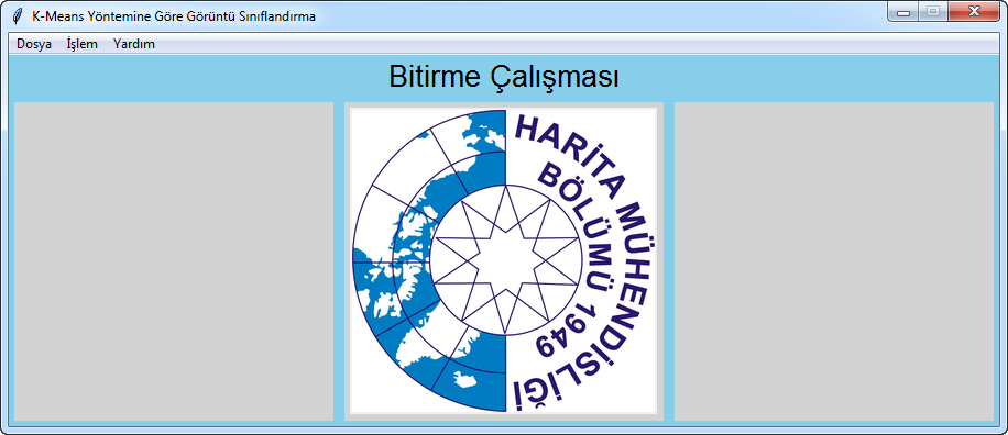
My undergraduate thesis. We develop desktop application that makes satellite image segmentation. The interface created in this project will also can be added as a toolbox to the Python language based GIS software.
GIS and Remote Sensing Msc. Student
Enthusiastic geomatic and GIS software engineer participating in the complete product development lifecycle of successfully launched applications. I think analytically and produces solutions using the spatial knowledge acquired during my education. Making positive impact with maps!
 Details
 Details
 Details